Atlas of Warsaw
Paweł Trzcionkowski
Atlas of Warsaw was made as part of the master thesis at the Faculty of Geography and Regional Studies, University of Warsaw.
Due to the size of the final presentation area, currently only a concept has been developed comprising the modern downtown area (Muranów, Old Town, north Śródmieście, Powiśle) in the years 1939, 1976, 2013.
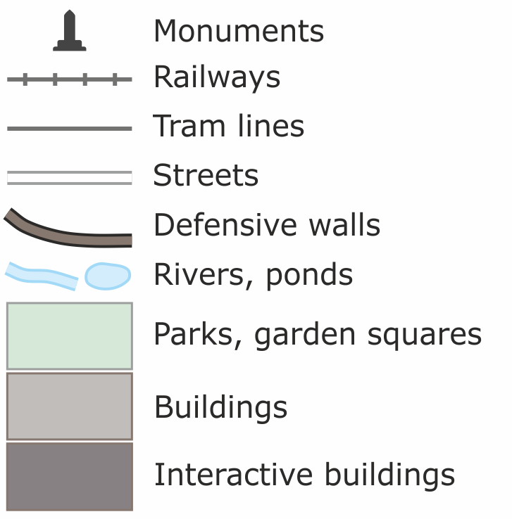
Atlas consists of 3 parts:- Base maps presenting the detailed buildings, width and course of the streets, course of the tram lines and railways and land cover.
- Overlay maps displayed on the base maps, presenting the buildings nad course of the streets. This enables the comparison of the changes that have taken place in the urban space since the pre-war time. The last overlay map is the area of the Warsaw Ghetto in November 1940, with course of the wall and gates.
- The last part is interactive component available by clicking on the buildings (interactive buildings; double click on mobile devices). Currently, there are brief information along with photographs prepared for about 50 buildings (only in Polish).

ATLAS
16.11.2014
Added maps:
Added maps:
- Warsaw 1939, 1976, 2013
- Buildings and streets 1939, 1976, 2013, Ghetto 1940
@ Paweł Trzcionkowski, Warszawa, 2014